Featured
For Sale
Reduced Price
Crockett County
Description
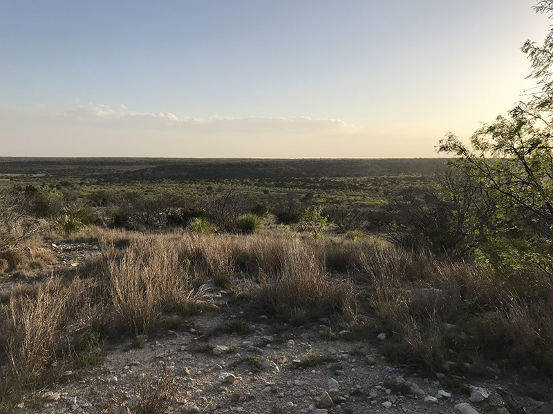
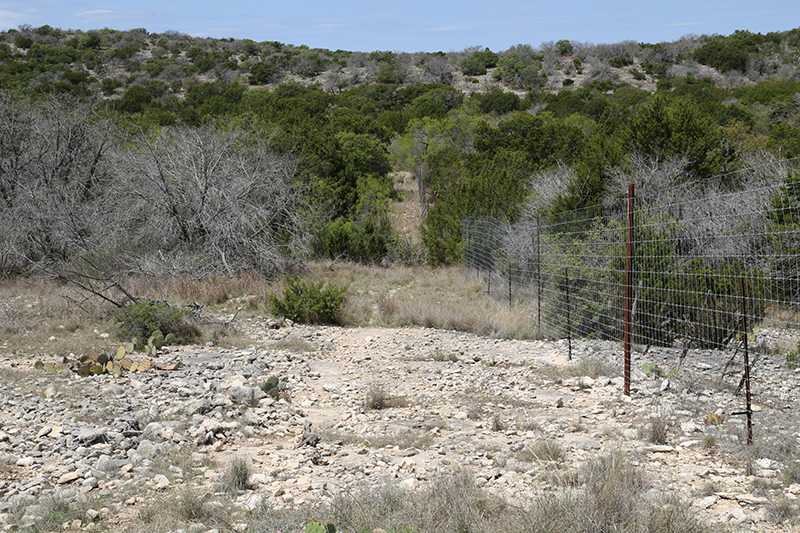
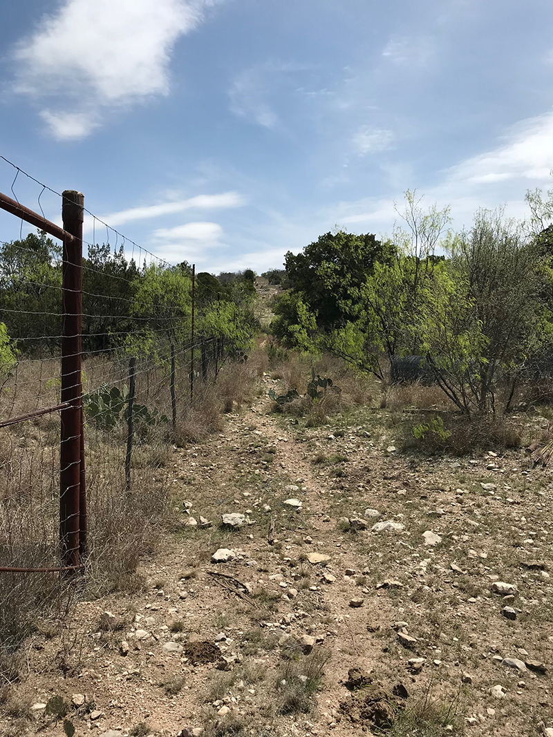
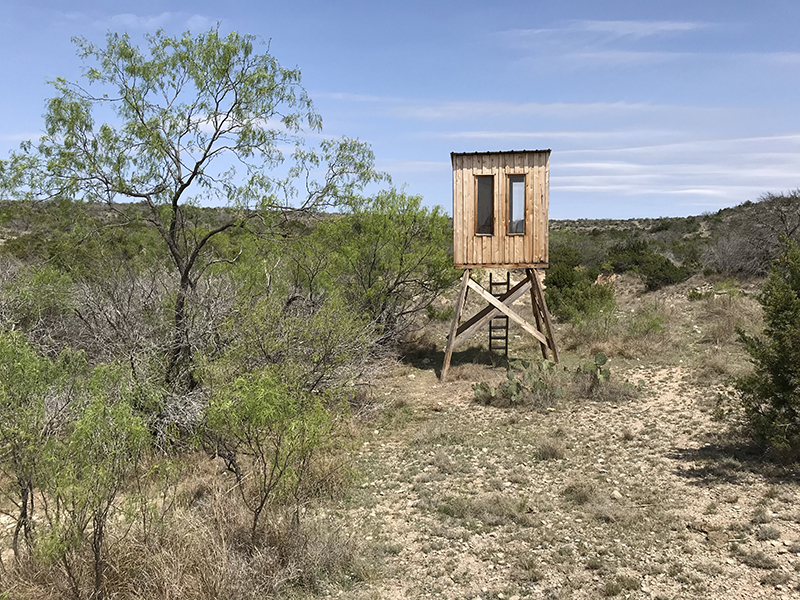
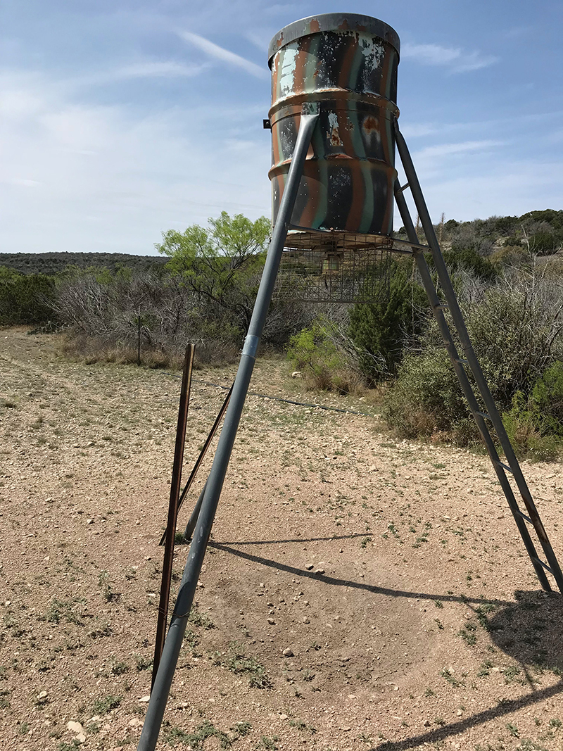
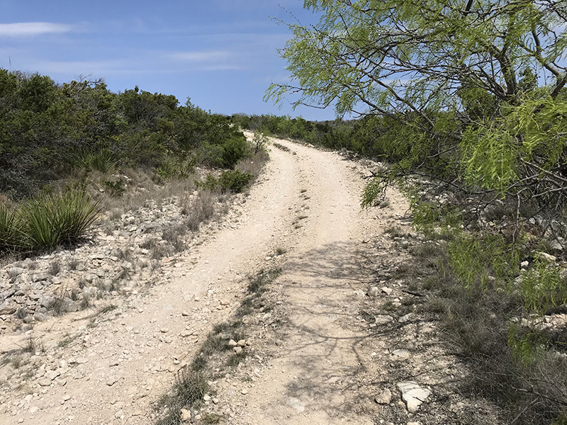
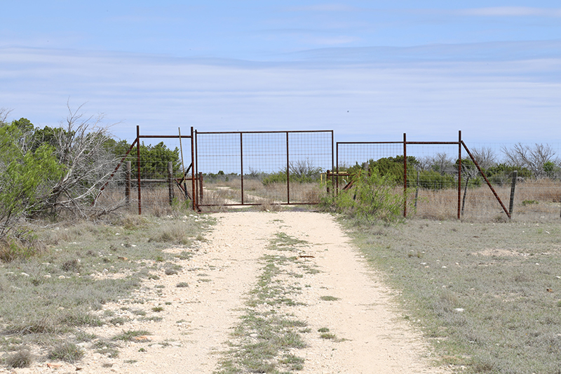
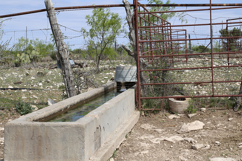
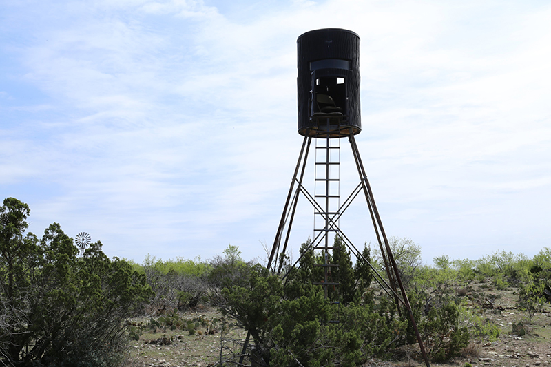
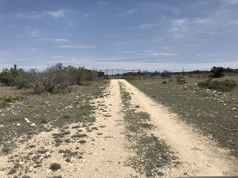
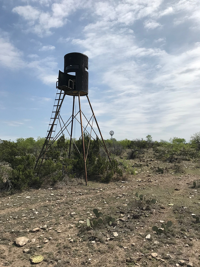
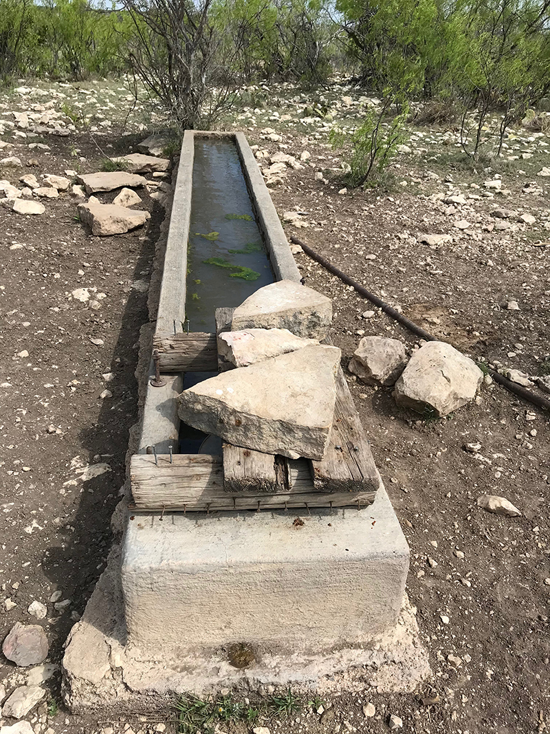
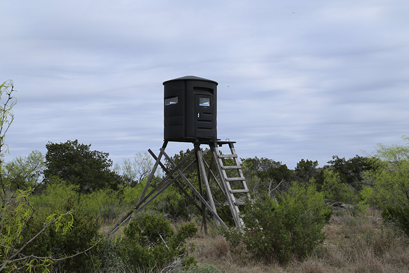
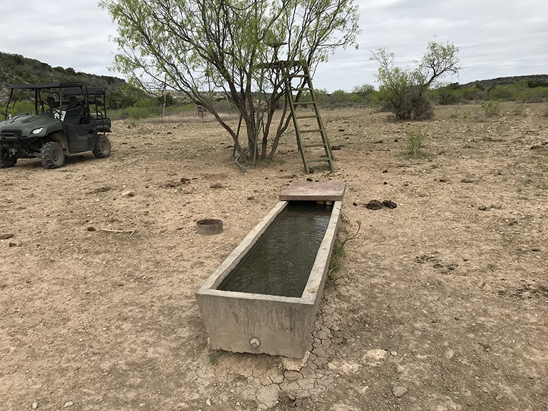
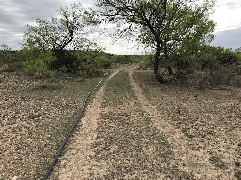
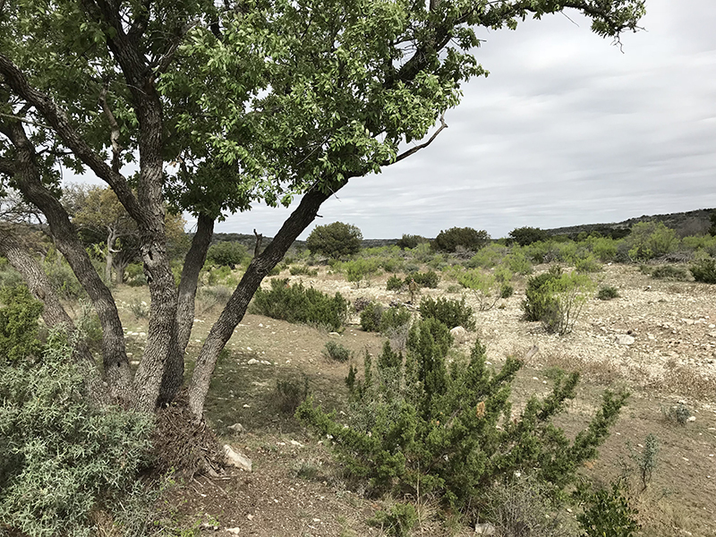
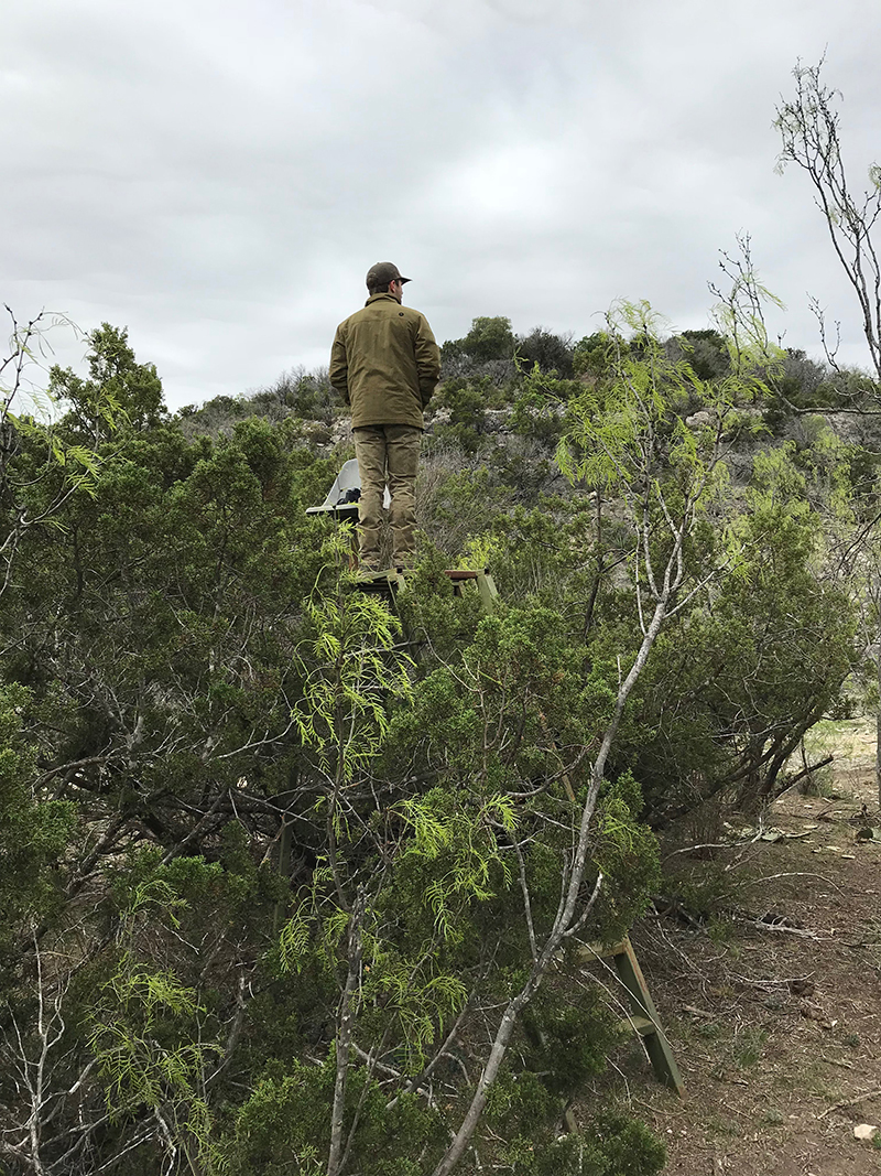
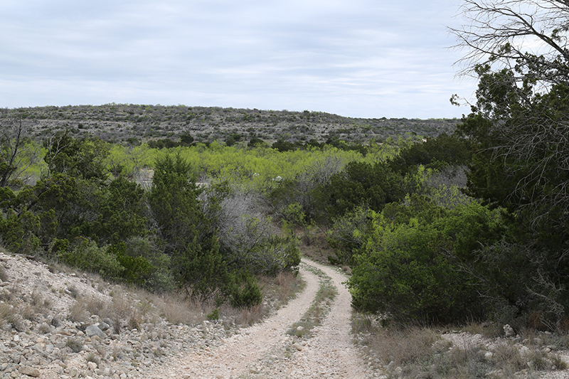
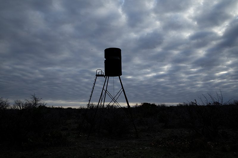
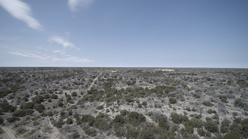
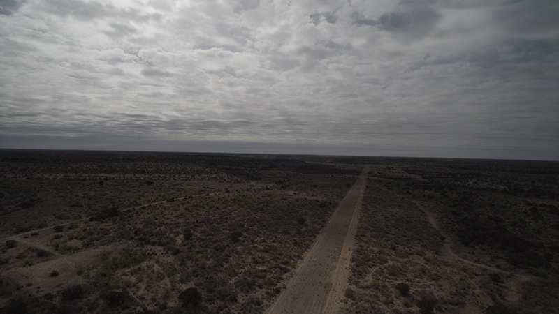
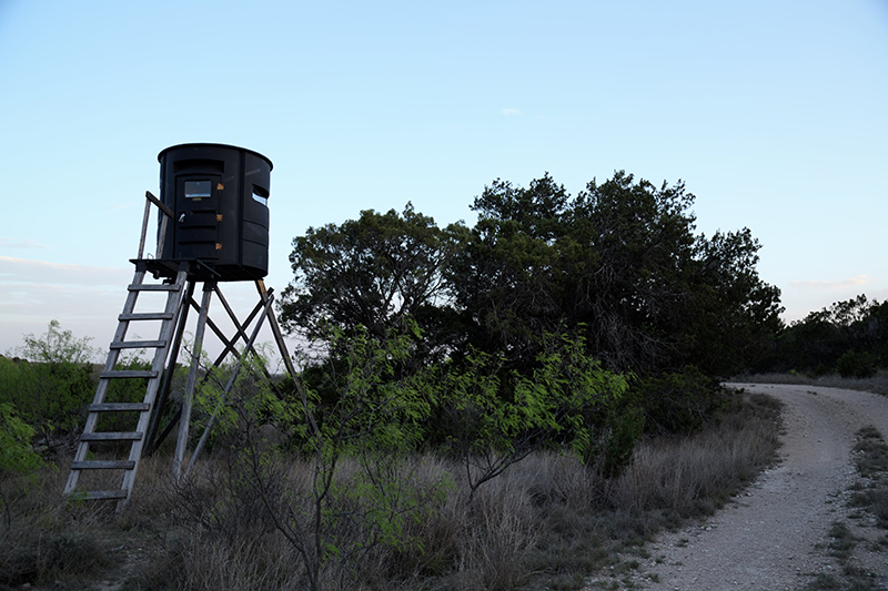
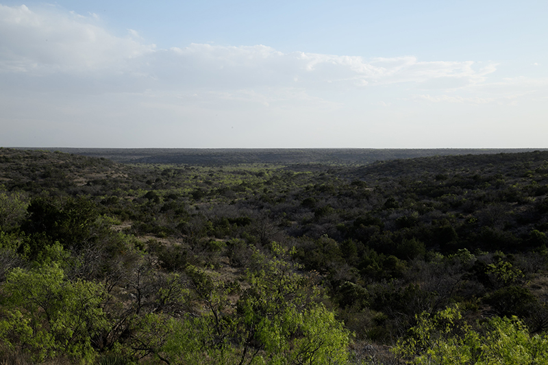
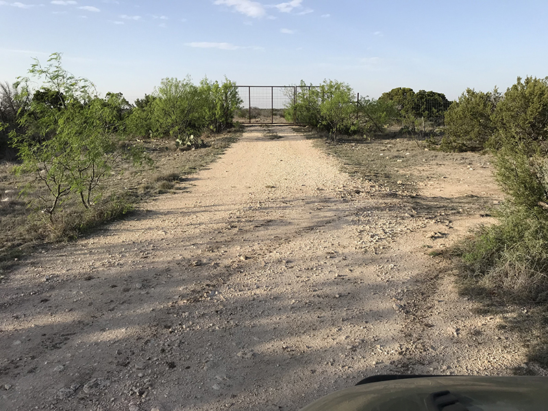
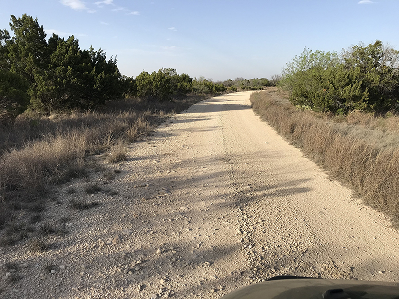
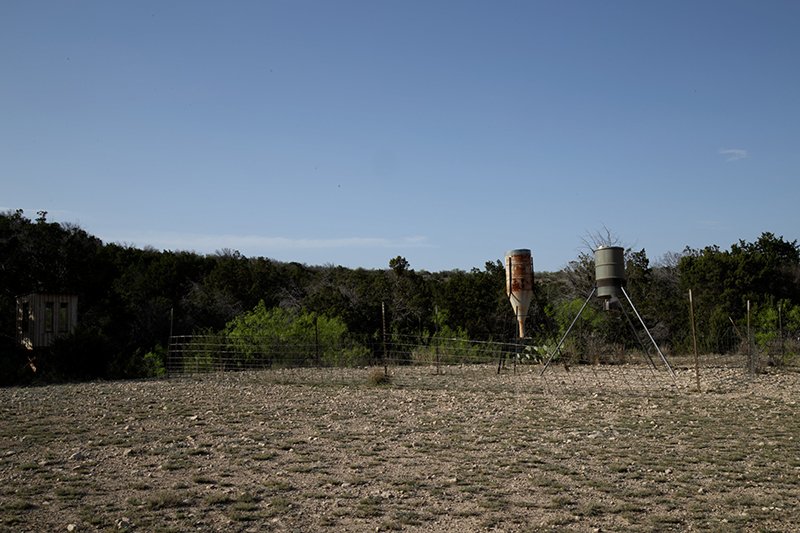
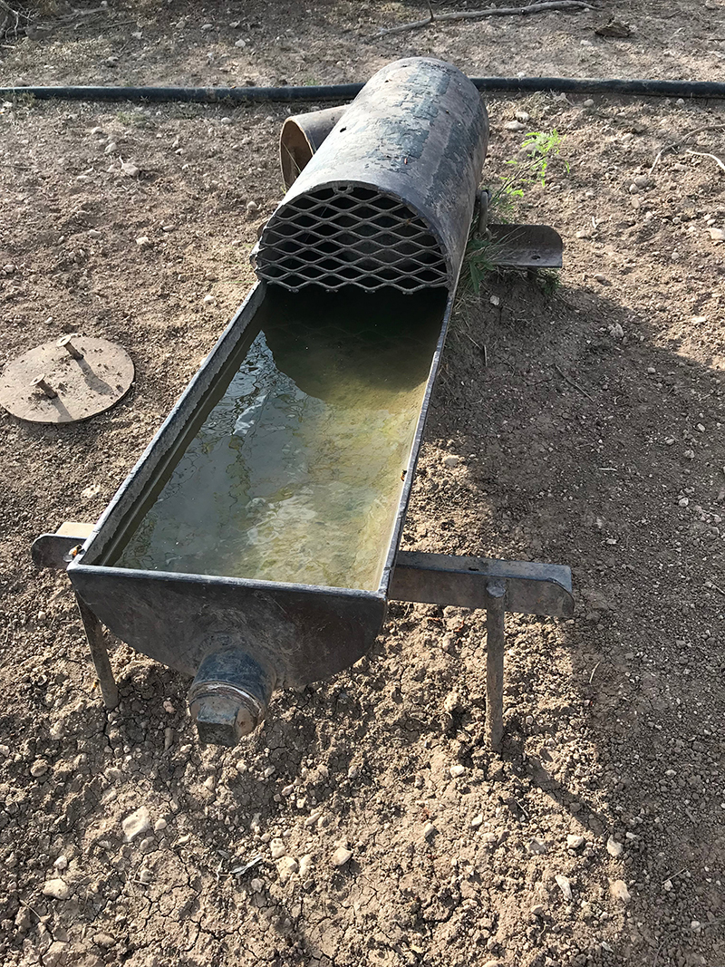
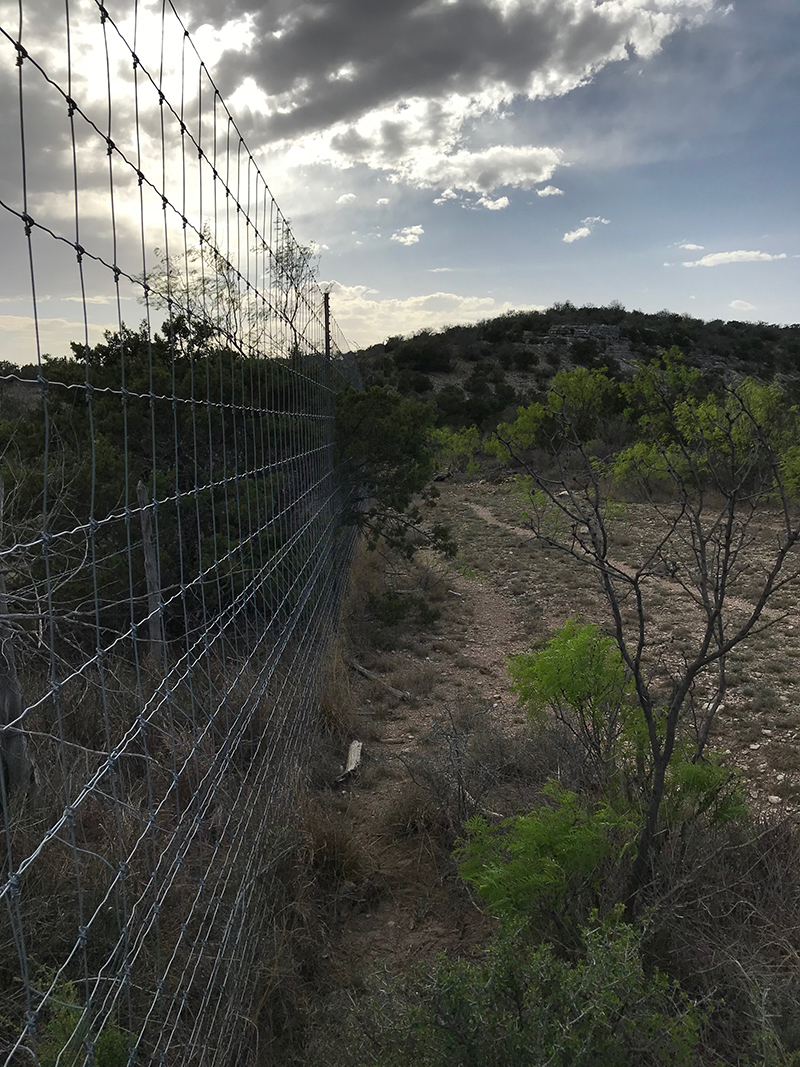
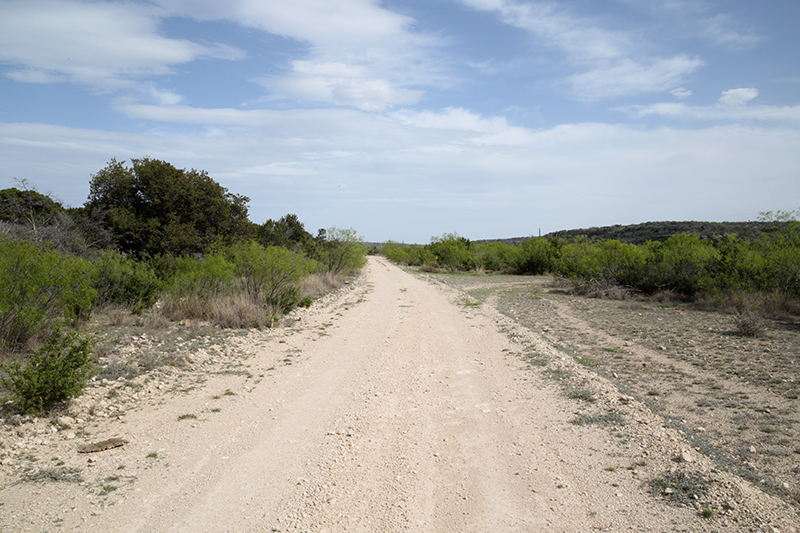
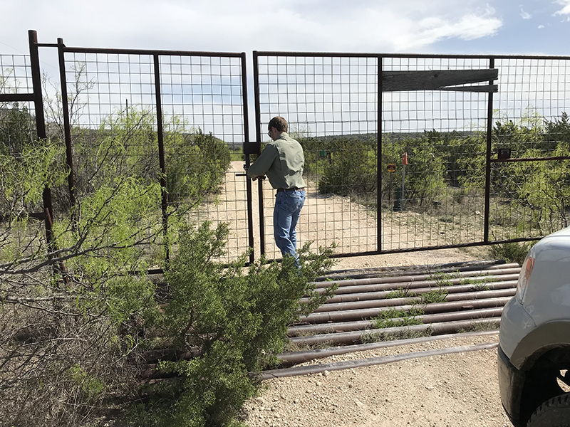
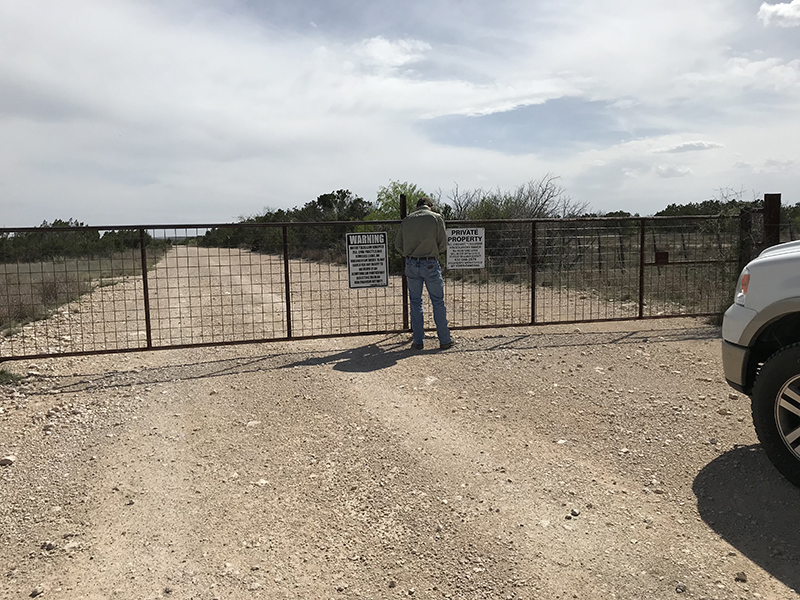
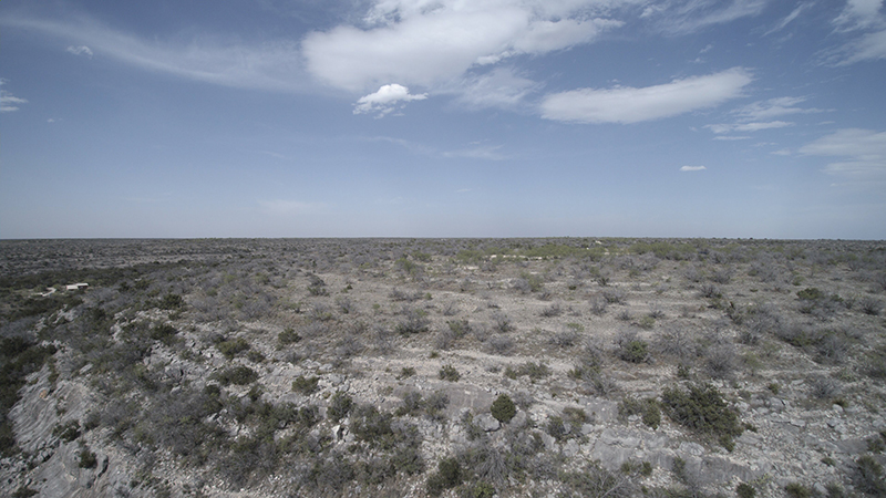
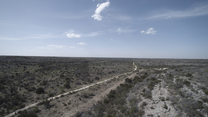
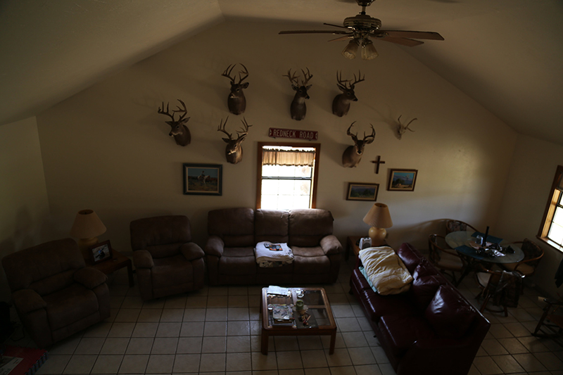
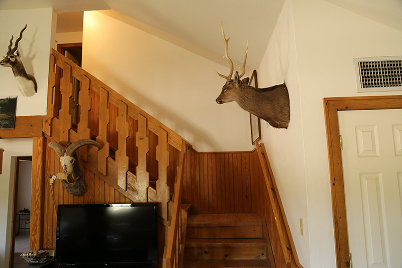
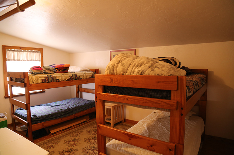
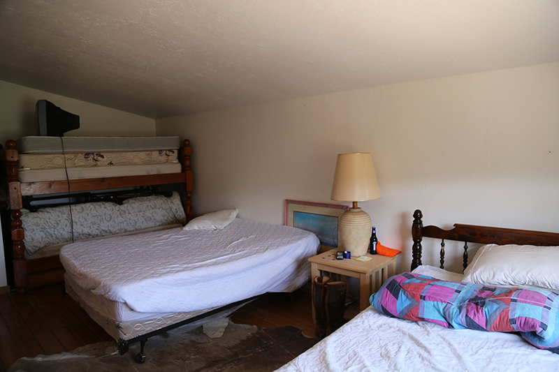
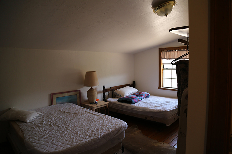
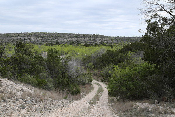
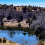
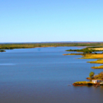
For the outdoorsman, Stone Basin Ranch offers the opportunity to own a 3,265 acre place, where the Texas Hill Country gives way to west Texas. This high-fenced property with over seventeen miles of caliche gravel roads, in excess of fifteen strategically located water guzzlers, a multitude of locations for hunting blinds and feeders, a “sleeps ten” lodge, walk-in cooler and whitetail deer, as well as exotics, has everything needed for exciting hunts, for years to come. Ownership of the ranch will appeal to a family, a group of hunting buddies or as a corporate hunting retreat.
Location
Stone Basin Ranch is in the center of Crockett County and on the western edge of the Edwards Plateau Ecoregion of Texas as it approaches the Trans Pecos. It is located 22 miles south of Ozona, 230 miles west of San Antonio, 235 miles west of Austin and 330 miles west-southwest of Fort Worth. There is a paved road to within a mile of the ranch, with the last mile being a caliche gravel road. This ranch is an “end of the road” property with no through traffic.Water
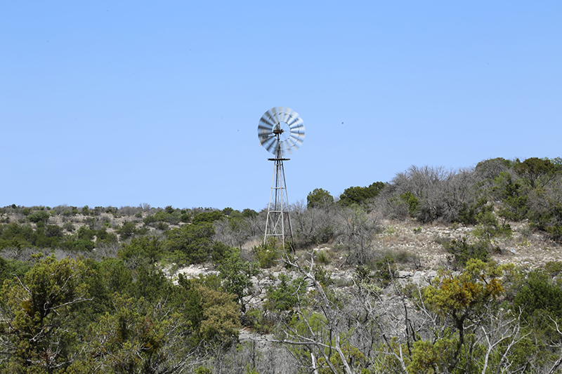
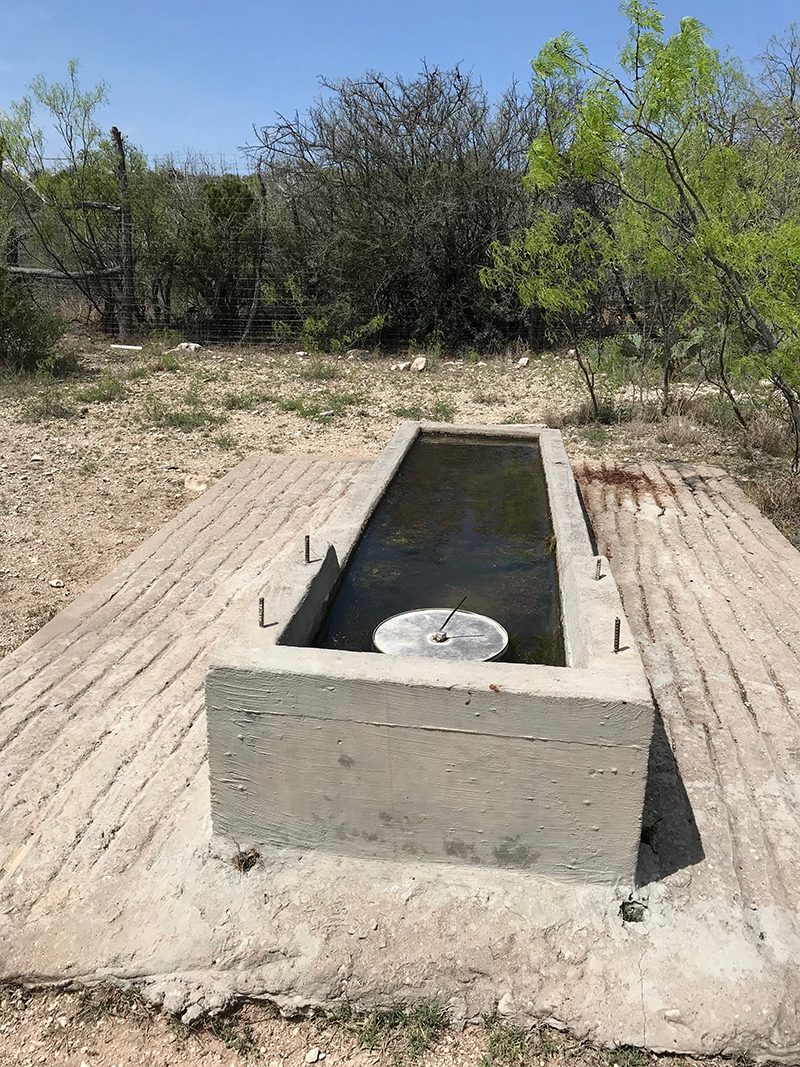
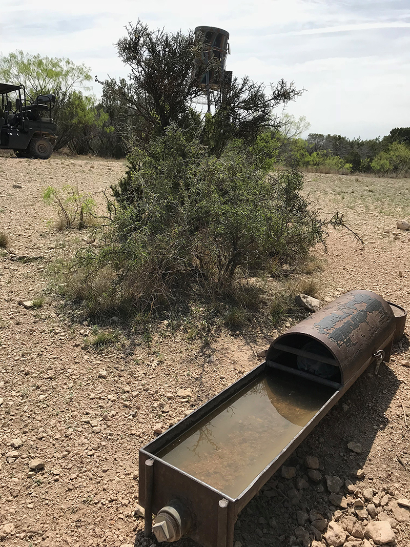
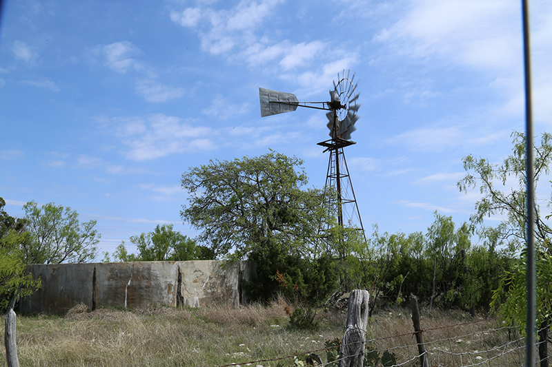
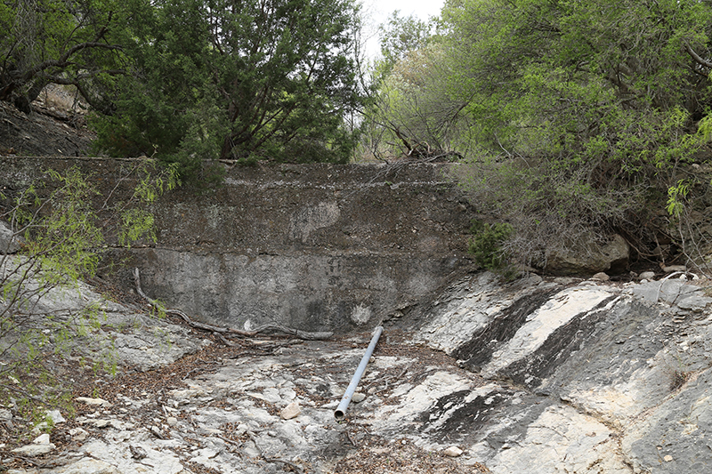
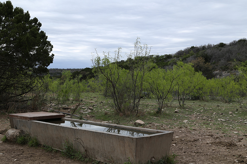
There are three wells, averaging 310 ft in depth, along the north fence line that are shared with the neighbor to the north. Each well is operated by a windmill. The well just inside the front gate supplies water to the hunting camp. There are 15 water troughs/guzzlers scattered across the ranch. Water is provided to each location via poly pipe lines from the windmill wells.Wildlife
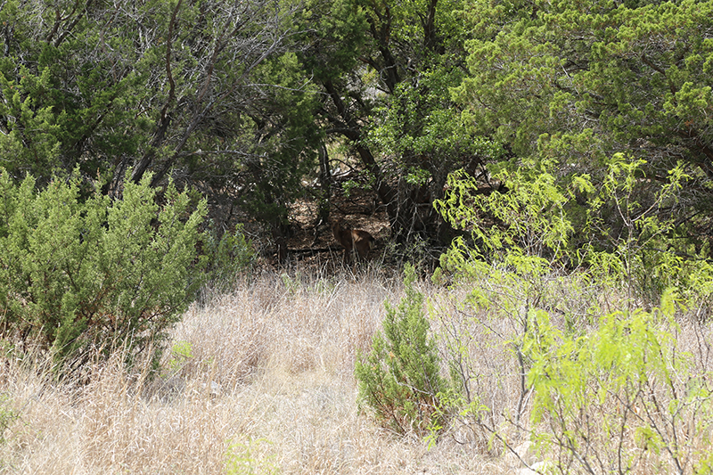
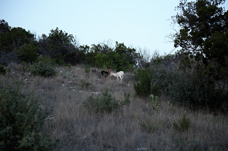
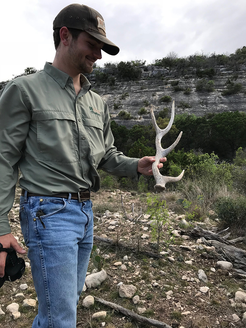
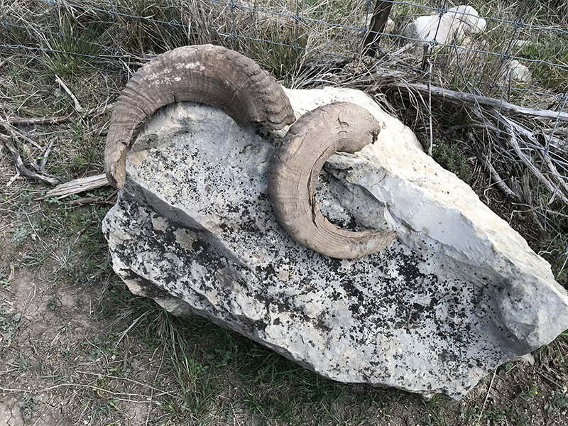
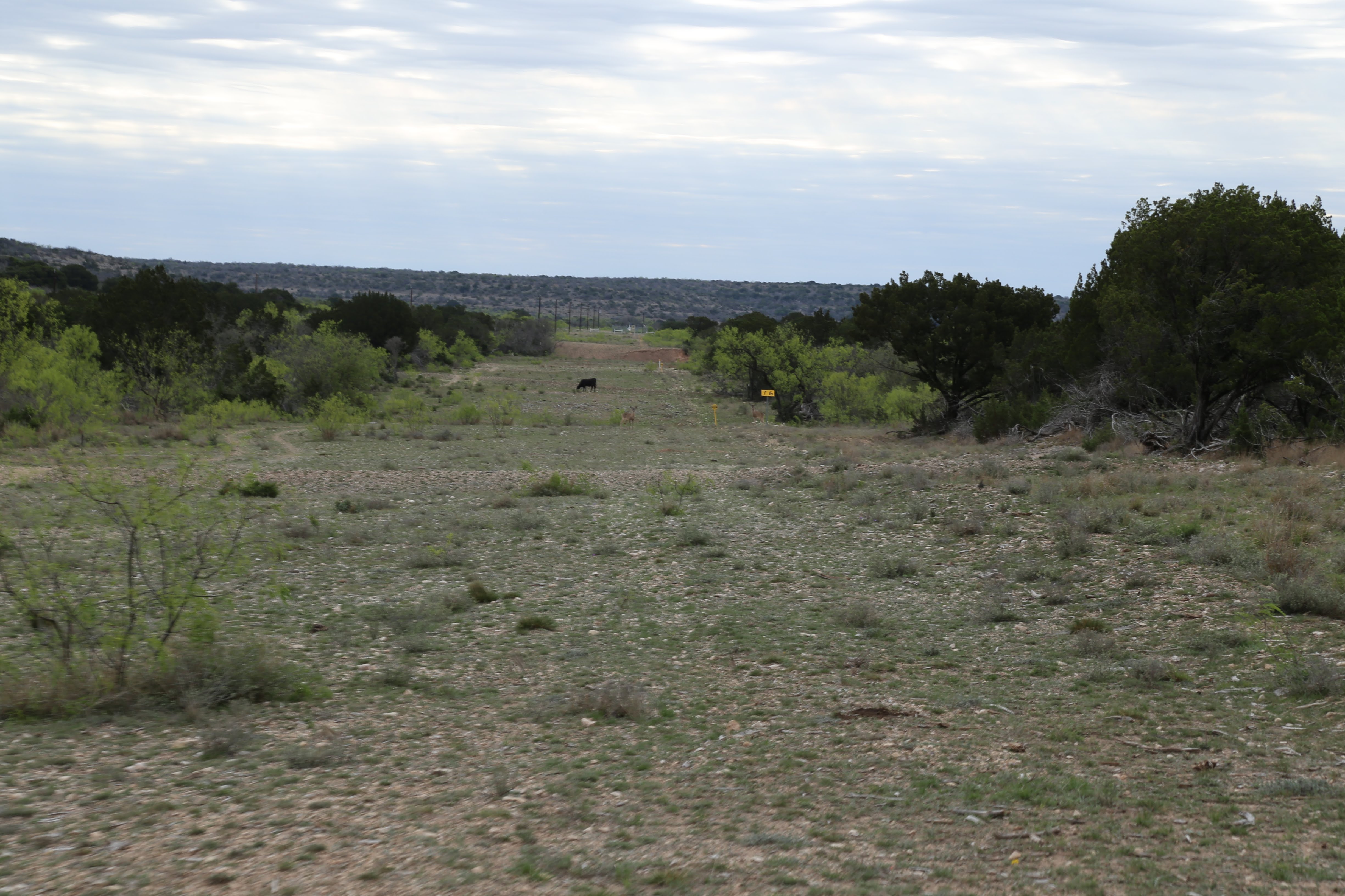
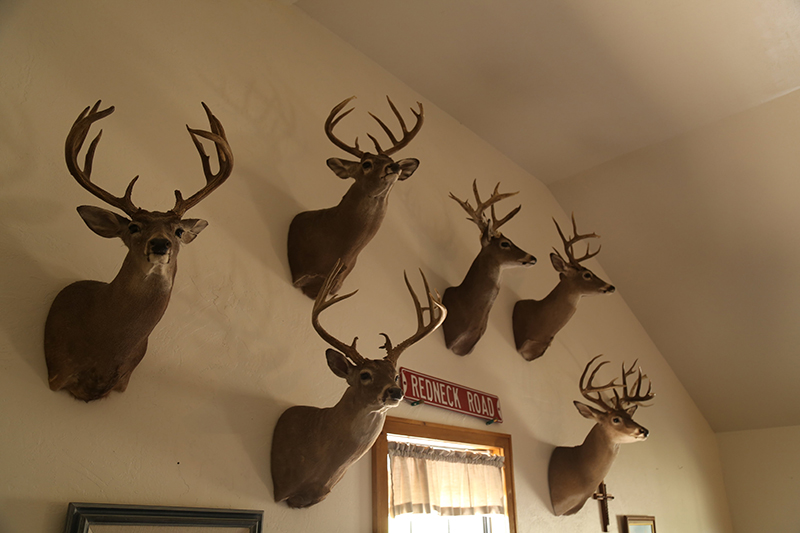
Stone Basin Ranch has been high-fenced and game managed for nearly 15 years. According to the outfitter who has leased the ranch for the last 7 years, the 8/24/17 aerial survey conducted there while flying 44.6 miles over the ranch, revealed 5 mature bucks to 130”, 18 middle aged bucks, 27 young bucks, 92 doe, 53 fawns, 12 Fallow deer, 18 Sika deer, 7 black buck, 18 Auodad sheep and 5 feral hogs. The 2017/2018 harvest was 27 whitetail doe and 3 whitetail bucks, exhibiting commendable patience by the lessee. Prior to the most recent stocking, the owner killed a 156” and his daughter took a 148” whitetail from the property. Several 145” deer have also been killed there, as well. The ranch is currently enrolled in a Managed Lands Deer Program (MLDP) which is intended to foster and support sound management and stewardship of native wildlife and wildlife habitats on private lands in Texas.Land
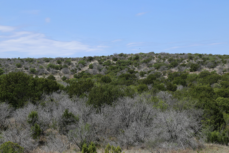
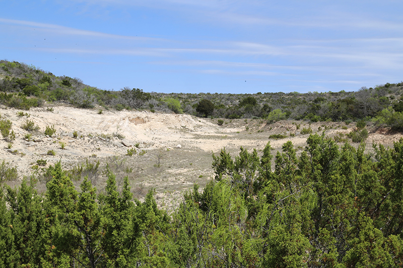
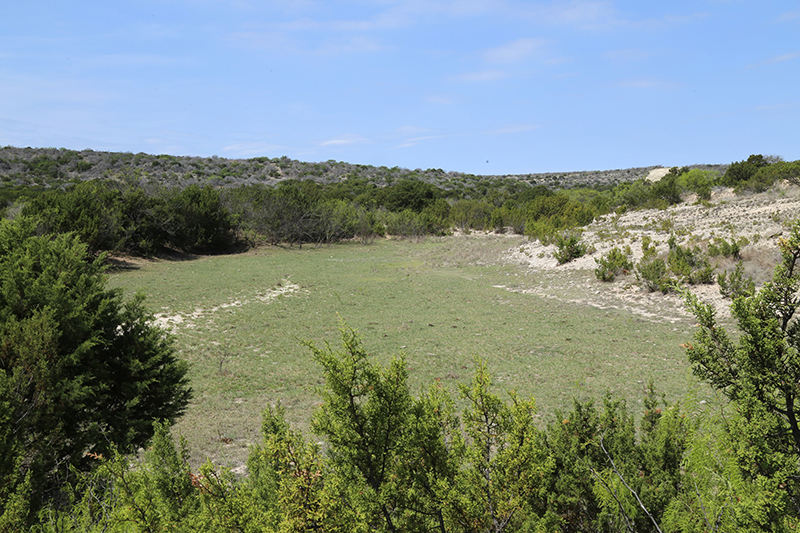
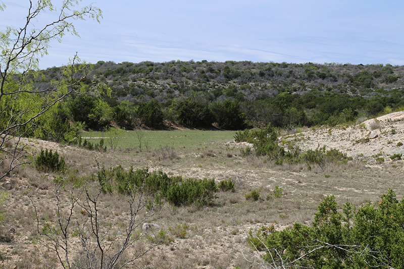
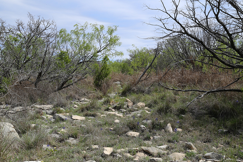
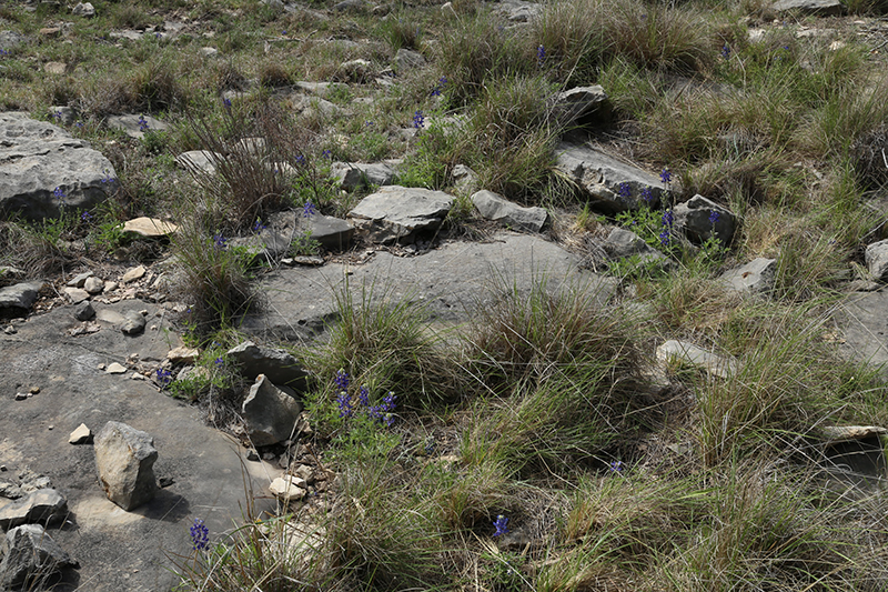
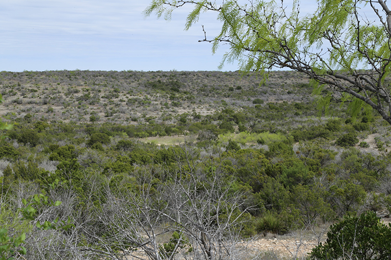
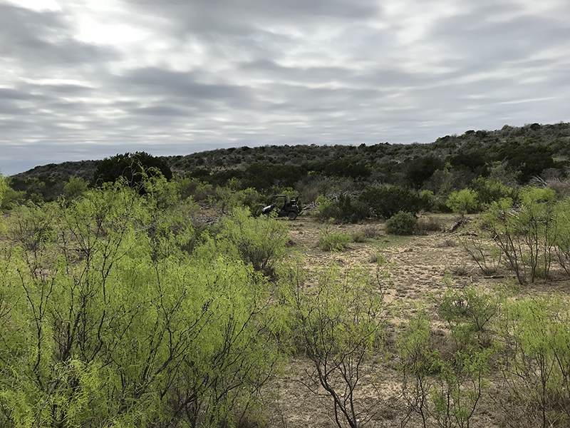
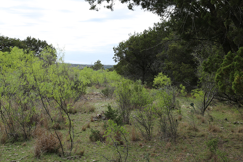
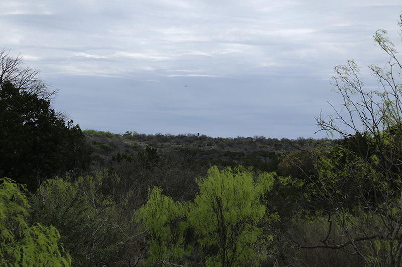
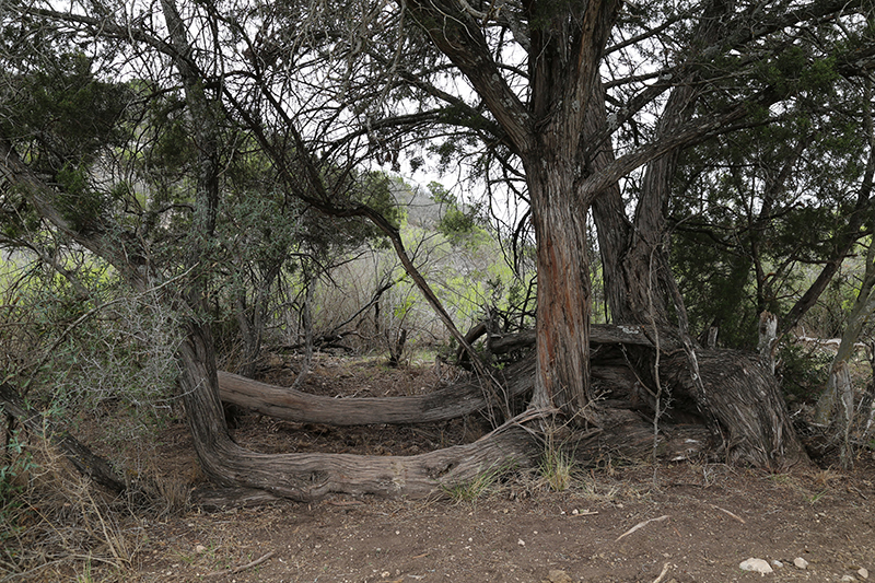
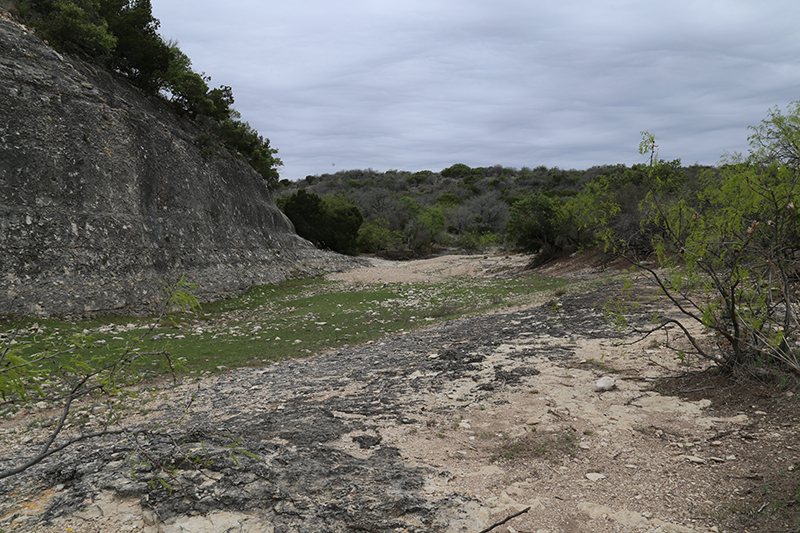
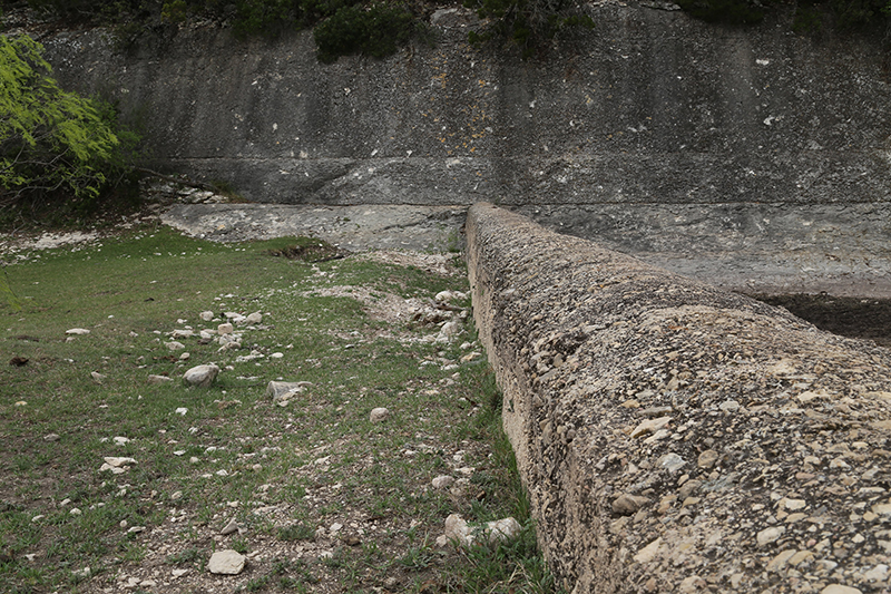
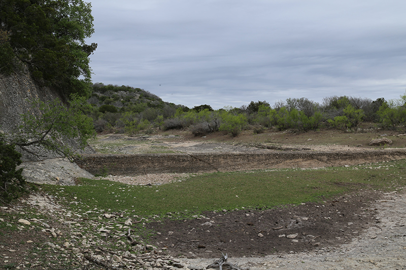
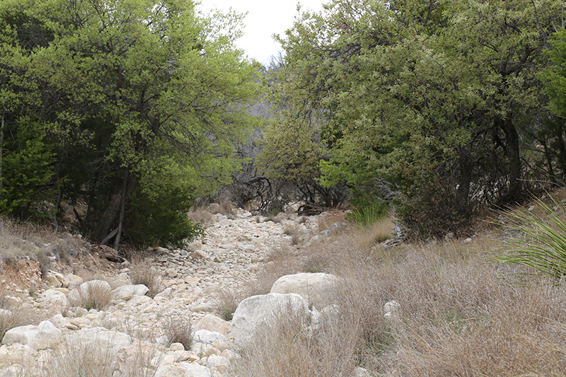
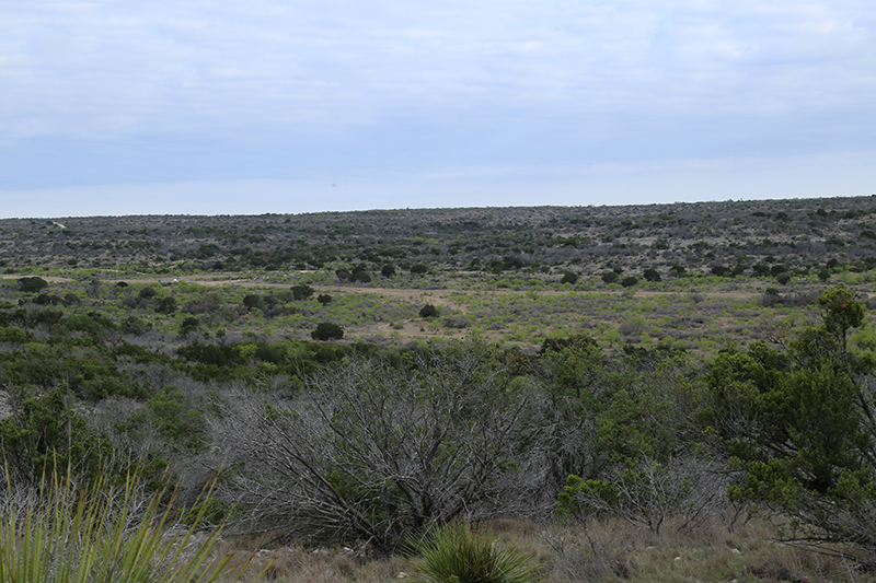
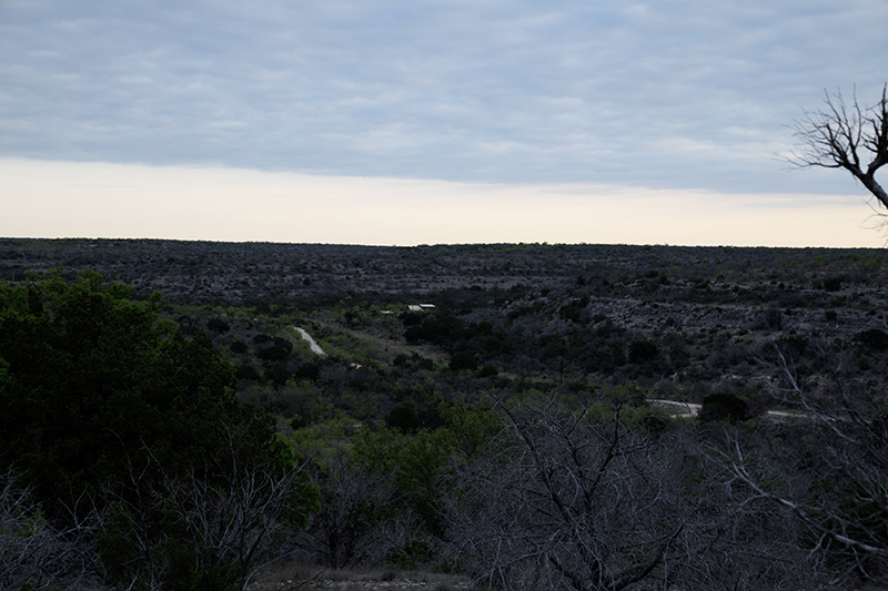
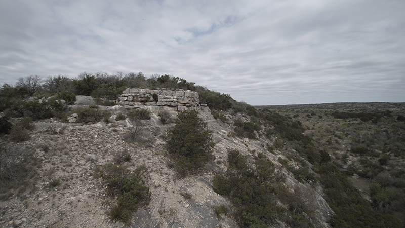
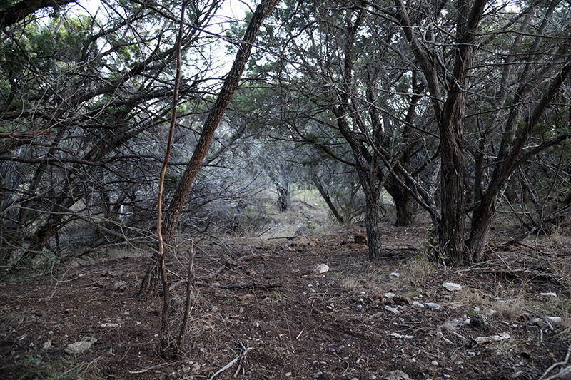
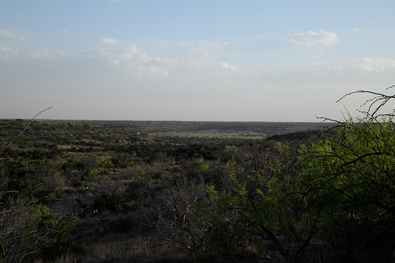
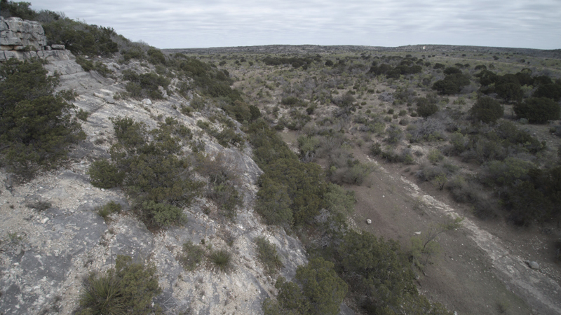
The lowest point of elevation on the ranch is about 2180 ft, located in the southeast quadrant of the ranch, in the bottom of Government Canyon. The highest point is just over 2400 ft along both sides of the canyon. Government Canyon traverses the property running northwest by southeast. There are a total of nine smaller canyons feeding the main one, across the ranch. The soils are typical for the area, including Ector-Rock outcrop complex and Noelke-Ector complex in the upper reaches, to Ragan silty clay loam, Sanderson-Upton complex and Rio Diablo silty clay loam in the lower reaches. Government Canyon, as well as the canyon in the extreme southeast corner of the property, have soils and periodic watershed to produce good quantities of native grasses and forbs, with adequate and timely rains. Approximately 30% of the land is limestone outcrops, while the other 70% consists of canyons and side hills. There is ample diversity of land forms throughout the ranch and with the strategic placement of watering facilities, affords excellent habitat for wildlife.Livestock
A local rancher has kept 35 to 65 head of cattle on the ranch since 2010. There are a couple of old sets of stock pens for cattle.Improvements
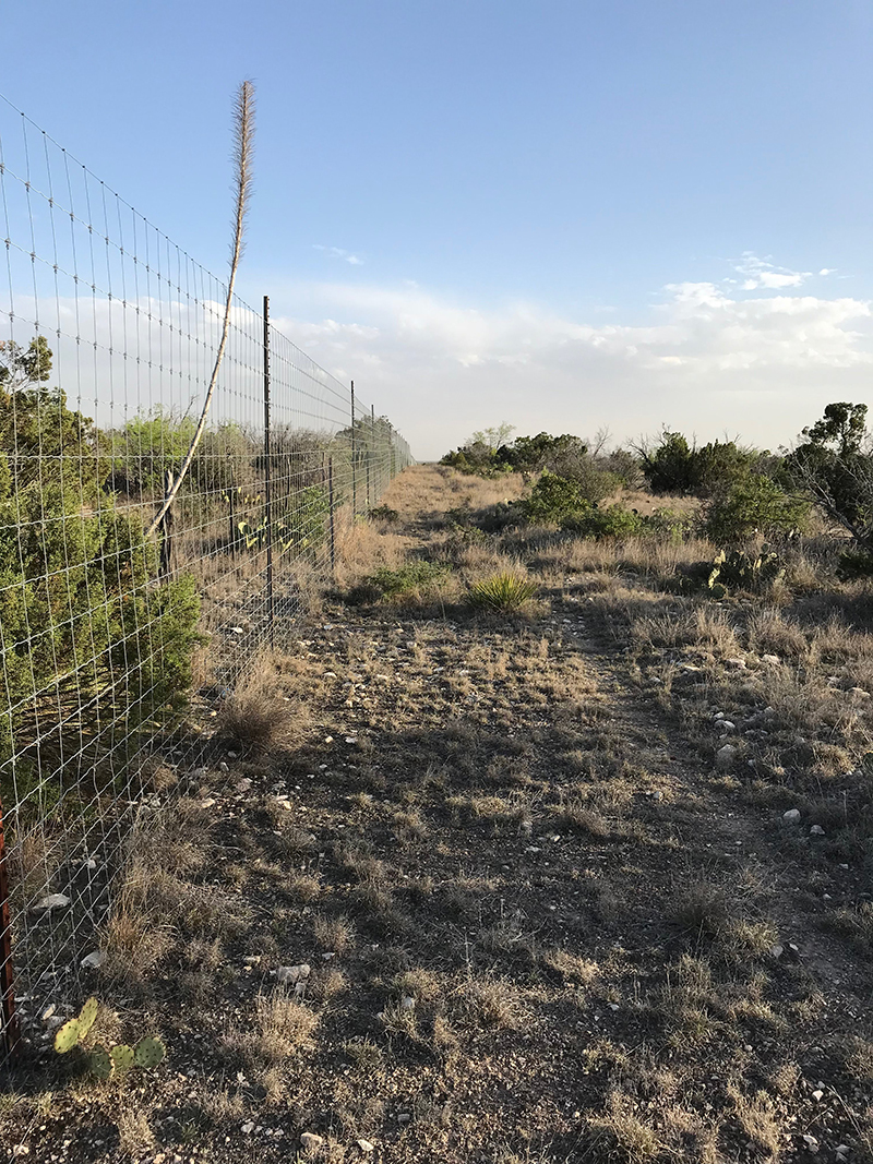
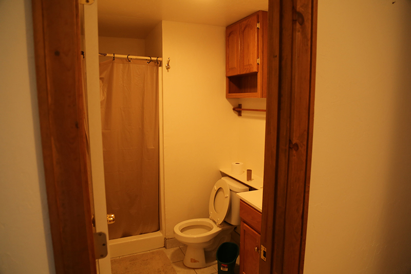
The ranch is high fenced. There is an 1120 sqft lodge that will accommodate up to ten. There is a 560 sqft out building housing a pressure tank and pump and equipment storage, a walk-in cooler, and a skinning shed. All were constructed in 1995. There are over 17 miles of caliche roads throughout the ranch, providing excellent access to virtually every part of the property and a myriad of locations for feeders, guzzlers and blinds.Minerals
Seller has no mineral estate ownership with this propertyVideo
Details
- Price: $2,987,475
- Land Area: 3265
- Bedrooms: 3
- Bathrooms: 2
- Year Built: 1995
- Property Type: Hunting, Ranch
- Property Status: For Sale, Reduced Price
- Improvements: Shop, House
- Electricity: Yes
- Elevation Change: 220
- Wildlife: Hogs, Turkey, Whitetail Deer
- Tax Year: 2020
- Taxes: $1,691
Features
Map
Address
- City Ozona
- State/county Crockett County
- Zip/Postal Code 76943
Overview
- 3265
- Hunting, Ranch
- 220
- Elevation Change
What's Nearby?
Powered by Yelp
- Active Life
-
Active Sports Medicine Center (6.12 mi)
-
Active Autowerke (7.1 mi)
-
Active Garage Door (6.41 mi)
- Arts & Entertainment
-
Mabel Moyano Fine Art (0.16 mi)
-
Star Nail Fever (0.17 mi)
-
Sun City Publishing (0.18 mi)
- Food
-
Gypsy's Subs House (0.11 mi)
-
Sanguchito On Wheels - Chilean Food Truck (0.14 mi)
-
Exxon (0.14 mi)
- Health & Medical
-
Star Nail Fever (0.17 mi)
-
Astute Vision (0.18 mi)
-
Walgreens (0.19 mi)
- Restaurants
-
Gypsy's Subs House (0.11 mi)
-
Wingstop (0.18 mi)
-
Las Delicias Peruvian (0.18 mi)
- Shopping
-
O & O HVAC Supply (0.18 mi)
-
Mabel Moyano Fine Art (0.16 mi)
-
Dollar Tree (0.18 mi)
Schedule a Tour
Contact Information
View Listings
Property information is from sources deemed reliable, however, the accuracy is not guaranteed. No Fences Land Company assumes no liability for error, omissions or investment results. All boundary lines noted in pictures, aerials or maps should be considered estimates and not relied on as legal documents or descriptions. All photos, videos, maps and related informational materials are subject to our Terms of Use.

